Ocean Forecasting and Prediction
sub-themes
1- Ocean Prediction
To understand the status of ocean prediction, one must first get an overview of the current state of the ocean prediction systems and the international network units them to get an outlook on the future improvement of the science behind ocean prediction, the prediction system capacity and the potential for further integration of ocean systems into seamless Earth System modles. Thematuring of oceanographic observations, for forecast systems and research, the core oceanforecasting disciplines of data assimilation, ocean modelling, forecast verification and observing system evaluation is now enabling new research and operational areas to flourish.
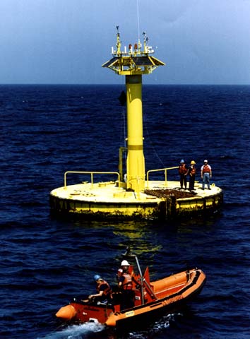
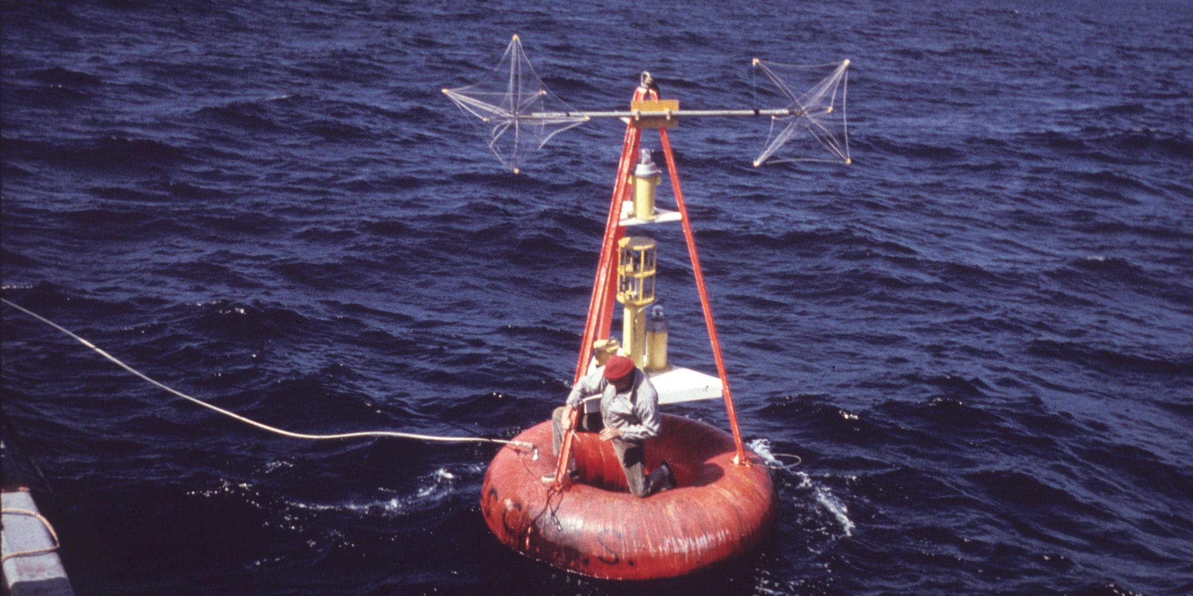
A key to any prediction system is the real-time availability of observations from surface and from the space-based platforms. The important differences between the atmosphere and the ocean become very apparent here. From a remote sensing satellite perspective, the ocean is less transparent and therefore less measurable at depth than the atmosphere. Satellite-based information, therefore, is in large part only available for the very surface of the ocean. However, satellite-based altimeters that measure sea surface height are an oceanographic remote sensing strength. Ocean height is representative of the depth integrated processes between ocean surface and bottom, and satellite altimetry enables tracking of long-term changes in ocean depth, such as sea level rise.
2- Data Assimilation
Data assimilation schemes vary among ocean forecasting groups. The primary objective is to minimize the misfit of model results with the observations while respecting the rules of physics. Observations assimilated in ocean forecast systems now include altimetry, ocean colour, surface velocities, sea ice and data from emerging platforms such as gliders. Many systems now employ multi-model approaches or ensemble modelling techniques. A key upcoming change in data assimilation will be the arrival of the Surface Water and Ocean Topography (SWOT) altimeter,which will provide a true two-dimensional picture of the ocean surface topography with roughly 2 km resolution, rather than along satellite track measurements, where the tracks are interspacedby 200 km and separated over time.
3- Short term prediction
Short term ocean predictions encompass timescales from the next few hours to ten days or more and are often referred to as forecasts. There has been significant progress in ocean forecasting in recent years. Improvement of forecasting systems have included increased resolution (horizontaland vertical), inclusion of tides, sea ice drift and thickness, ecosystem approaches, improvement to mixing biases and extending regional mode areas.
Short-to-medium-term coupled ice-ocean-atmosphere prediction is being used to improve weather forecasts on the time scale of three days to two weeks. This will enable safer at sea and coastal operations through improved prediction of extreme weather and climate events such as tropical cyclones. Increased activities in the high latitudes are also driving the further development of operational ice and ocean prediction.
4- Sub-seasonal to seasonal prediction
Unlike large scale atmospheric events which evolve on daily time scales, large scale ocean events typically evolve on weekly to monthly time scales and include marine heat waves and variations in sea level that can cause fair-weather flooding and exacerbate the flood risks of tropical and extra tropical storms.
Sub-seasonal to seasonal prediction, with a forecast range longer than two weeks but less than aseason, in now routinely performed using coupled ocean-atmosphere models. At lead times longer than two weeks, coupling of the atmosphere to the ocean contributes, for example, to predictability of monsoon variations and the Madden Julian Oscillation. In addition, satellite observations suggest that mid-latitude ocean mesoscale eddy-induced sea surface temperature scan influence the atmospheric planetary boundary layer, which may drive predictability of winterstorm-tracks on sub-seasonal to seasonal time scales.
Sub-seasonal prediction of regional variations in sea surface temperature and near-surfacecurrents is also of direct interest for a wide range of activities and enterprises including management of fisheries, off shore mining activities and ocean transportation.
5- Coastal Prediction
Along coasts, decision-makers looking after increasingly populated and urbanized coastal areas are benefiting from coastal operational oceanography. This is because operational oceanographyis increasingly able to provide accurate information on phenomena such as coastal river plumes from sediments and nutrients, predicting the occurrence and evolution of harmful algae blooms and coastal erosion.
6- Communication and verification
The communication and dissemination of information to downstream users has improved. Nowadays, the dissemination of outputs from forecasting systems is akin to the approaches taken by WMO in the distribution of numerical weather prediction products. Most ocean forecasting systems are also now investing in verification, monitoring and validation efforts to be able to show their products to their users.